Pre-Ride Bike Check
Test brakes, check tyre pressure (refer to sidewall PSI), and ensure your chain is lubricated. Wobble your handlebars to confirm the stem is tight. A two-minute ABC check — Air, Brakes, Chain — prevents most roadside issues.

Every trail includes distance, surface notes, and where to stop for coffee — because a good ride is a planned ride.
Explore RoutesDistance: 18 km round trip | Surface: Compact gravel | Difficulty: Easy
This is the route we send first-time visitors to. The towpath is wide enough for two bikes abreast in most sections, and the gradient is virtually flat. Start at Shipley Marina car park, head east toward Saltaire, and turn around at the World Heritage village for a cup of tea at one of the cafés near Salts Mill.
Watch for narrow sections near Hirst Wood — ring your bell when passing pedestrians. In wet weather, the gravel can feel slippery near the water's edge, so we recommend tyres at least 32 mm wide. The route is well-lit in urban sections but carry lights if you plan to return after sunset.
Highlights include kingfishers near Dowley Gap and the industrial heritage architecture at Saltaire. Allow 75–90 minutes at a social pace with one stop.
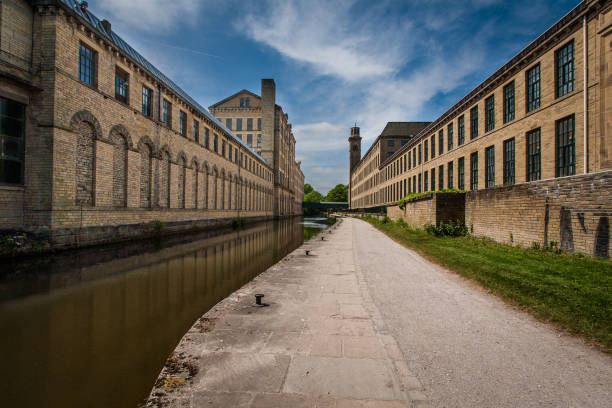 Towpath near Saltaire — flat and scenic
Distance: 12 km | Surface: Paved and light gravel | Difficulty: Easy to moderate
Perfect for weekday rides when time is tight. Begin at Lister Park's main entrance, circle the boating lake, then exit onto Manningham Lane using the shared path. Connect to the Bradford Beck trail via Church Bank — a short paved section with a gentle descent.
The Beck trail runs 4 km through green corridor with minimal road crossings. Return via the same route or add a loop through Heaton Woods for an extra 3 km of tree cover. Traffic awareness matters on Manningham Lane: use the shared pavement where marked and walk your bike across busy junctions if you are unsure.
This loop is popular with commuters testing their route to work. Total elevation gain is under 80 metres, making it accessible for hybrid bikes and confident city riders.
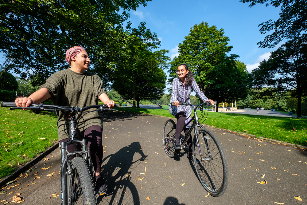
Distance: 28 km | Surface: Mixed road and lane | Difficulty: Challenging
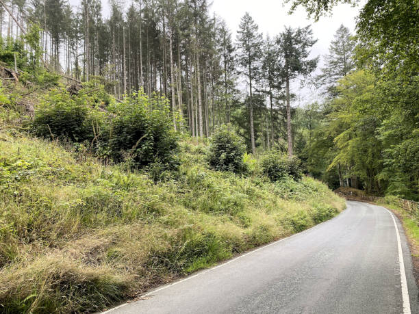
Our signature climb route. Depart from the Retail Park base, follow the A647 toward Queensbury, and take the quieter back lanes via Clayton Heights. The main climb is 3.2 km at an average gradient of 5.5% — manageable in a low gear but demanding if you are new to hills.
At the top, the viewpoint over the Aire Valley is worth the effort. Descend via the same route or extend to Thornton for a 35 km loop. Weather changes quickly at elevation — pack a windproof layer even on mild days.
We run this as a guided group ride on the first Saturday of each month with a regroup at the summit. Solo riders should share their route plan with someone and carry a fully charged phone.
Longer rides for Saturday and Sunday — published every Wednesday on our calendar.
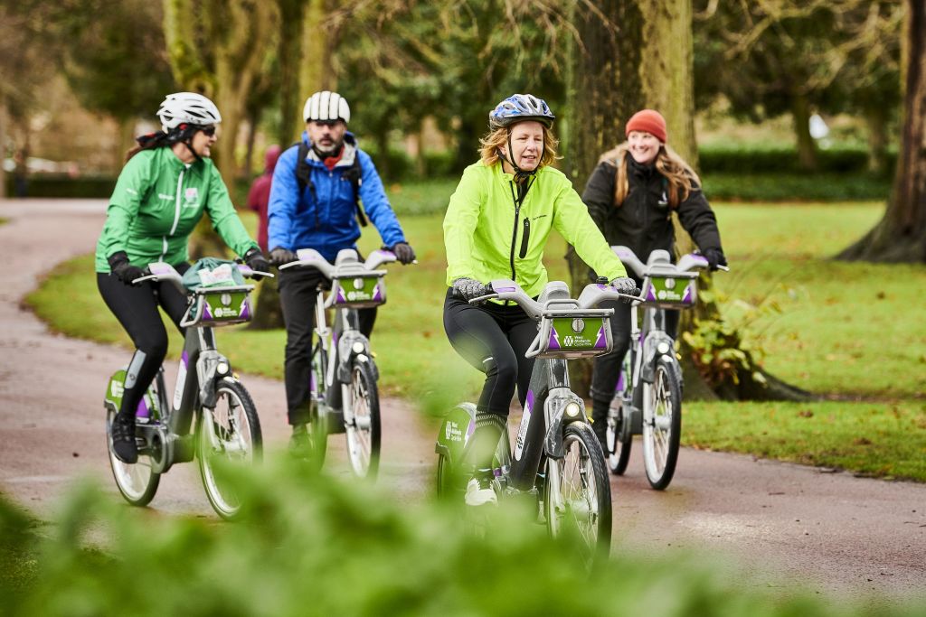
Practical checks before every ride — shared on all our guided sessions.
Test brakes, check tyre pressure (refer to sidewall PSI), and ensure your chain is lubricated. Wobble your handlebars to confirm the stem is tight. A two-minute ABC check — Air, Brakes, Chain — prevents most roadside issues.
Carry at least 500 ml of water for rides over 30 minutes. For routes above 20 km, bring a snack with slow-release carbs — oat bars, bananas, or a sandwich. Drink before you feel thirsty on warm days.
Front white and rear red lights are required on evening rides and recommended year-round. Layer clothing: a base layer, jersey, and packable waterproof. Yorkshire weather shifts fast — check the forecast before you leave.
Ride predictably, signal early, and make eye contact at junctions. On shared paths, give way to pedestrians and use your bell from a respectful distance. If a section feels beyond your skill, walk your bike until you are comfortable.